
An Earthquake Trapped a Lake Above a City. They Drained It With Shovels.
On May 22, 1960, the magnitude 9.5 Great Chilean Earthquake—the strongest ever recorded—triggered colossal landslides that corked the San Pedro River, trapping three billion cubic meters of water inside Lake Riñihue. Threatened by a catastrophic tidal wall racing toward 100,000 citizens in Valdivia, civil engineer Raúl Sáez led hundreds of workers in a desperate, manual shovel-digging operation known as the 'Riñihuazo'.

In this dossier (8 chapters) ▾
Historical Dossier: The Riñihuazo Location: Riñihue Lake, San Pedro River and Valdivia, southern Chile | Year: May–July 1960 | Key Figures: Raúl Sáez, the Batallón de Hierro, engineers of ENDESA, CORFO and the MOP
The Earthquake
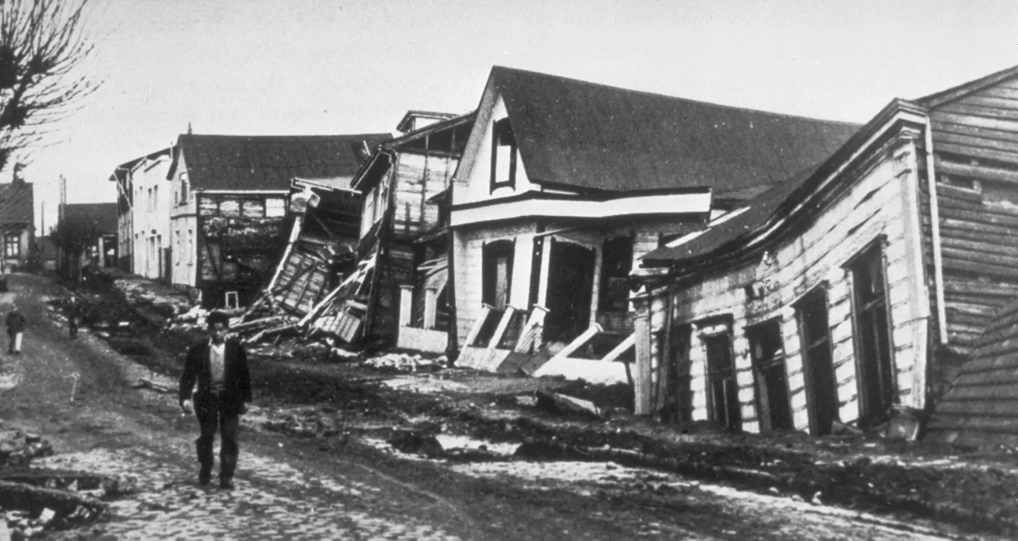
On 22 May 1960, at 3:11 in the afternoon, a megathrust earthquake struck southern Chile. Its moment magnitude is put at 9.4 to 9.6, making it the strongest earthquake ever recorded. Foreshocks had warned of it: an 8.1 quake on 21 May near Curanilahue, then shocks of 7.1 and 7.8 on 22 May, the last just 15 minutes before the main rupture. The rupture ran about 800 kilometres along the Peru-Chile Trench, from near Arauco to beyond the Chiloé Archipelago, and the shaking lasted about ten minutes. Valdivia suffered the worst: roughly 40 percent of its houses were destroyed, the ground sank by about two metres, and the electricity and water systems failed completely. Tsunami waves reached up to 25 metres on the Chilean coast, and crossed the Pacific to Hilo, Hawaii, where they were 10.7 metres high, and to Japan, the Philippines and elsewhere. Estimates of the dead range from 1,000 to 6,000. The shaking triggered landslides near Tralcán Mountain that blocked the outflow of Riñihue Lake, the lowest of the chain of lakes known as the Seven Lakes.
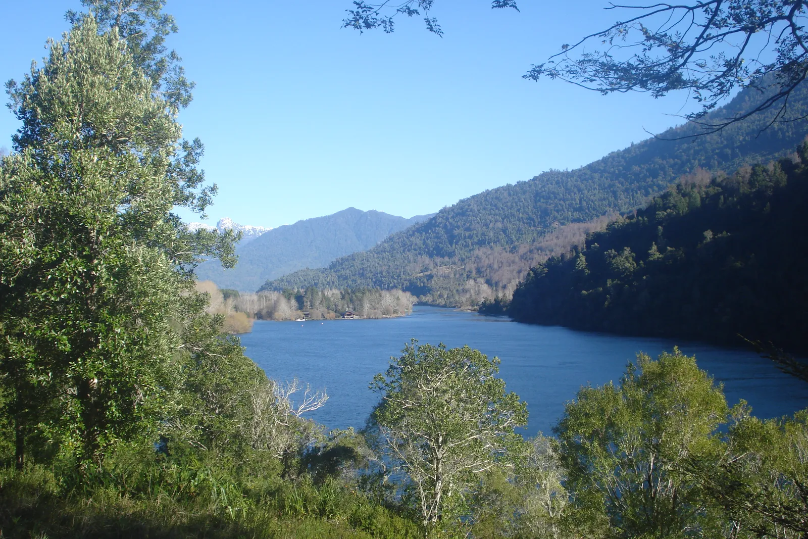
Riñihue Lake is fed constantly by the Enco River. Its water drains through the San Pedro River, which flows through several towns and the city of Valdivia before it reaches Corral Bay. Now the landslides had blocked that outlet completely. The lake had no way out, and the water was rising.
A Lake Above a City
Every metre of rise in the lake added 20 million cubic metres of water. If the water rose above the first natural dam, which was 26 metres high, about 4.8 cubic kilometres would pour into the San Pedro River. The river could carry only about 400 cubic metres a second. The result, in the words of the account, “would have destroyed all the settlements along the course of the river in less than five hours.”
About 100,000 people lived in the zone at risk. Valdivia, already damaged by the quake, began to prepare for evacuation, and many residents left.
Bulldozers and Shovels
The response brought together units of the Chilean Army and hundreds of workers from ENDESA, CORFO and the public works ministry (MOP). The army sent the Batallón Escuela de Suboficiales from San Bernardo, made up largely of young conscripts, which the local people came to call the “Batallón de Hierro,” the Iron Battalion, for its work west of the lake.
At first 27 bulldozers were sent. The mud near the dams was so deep and soft that the machines were of little use, and the workers turned to shovels and dug dykes and drainage channels by hand. A suggestion from some US military personnel, to blow up the dams with missiles fired from a helicopter, was rejected.
Controlling the Flood
The engineers also acted upstream. They dammed the outlets of other lakes in the Seven Lakes chain to reduce the flow into Riñihue, and most of these temporary dams were later removed, except the one at Calafquén Lake, which stayed. At the main blockage, the work cut the height of the dam from about 24 metres to 15, which allowed about 3 cubic kilometres of water to escape gradually, though one account puts the lowering of the dam at 23 May and another at 23 June.
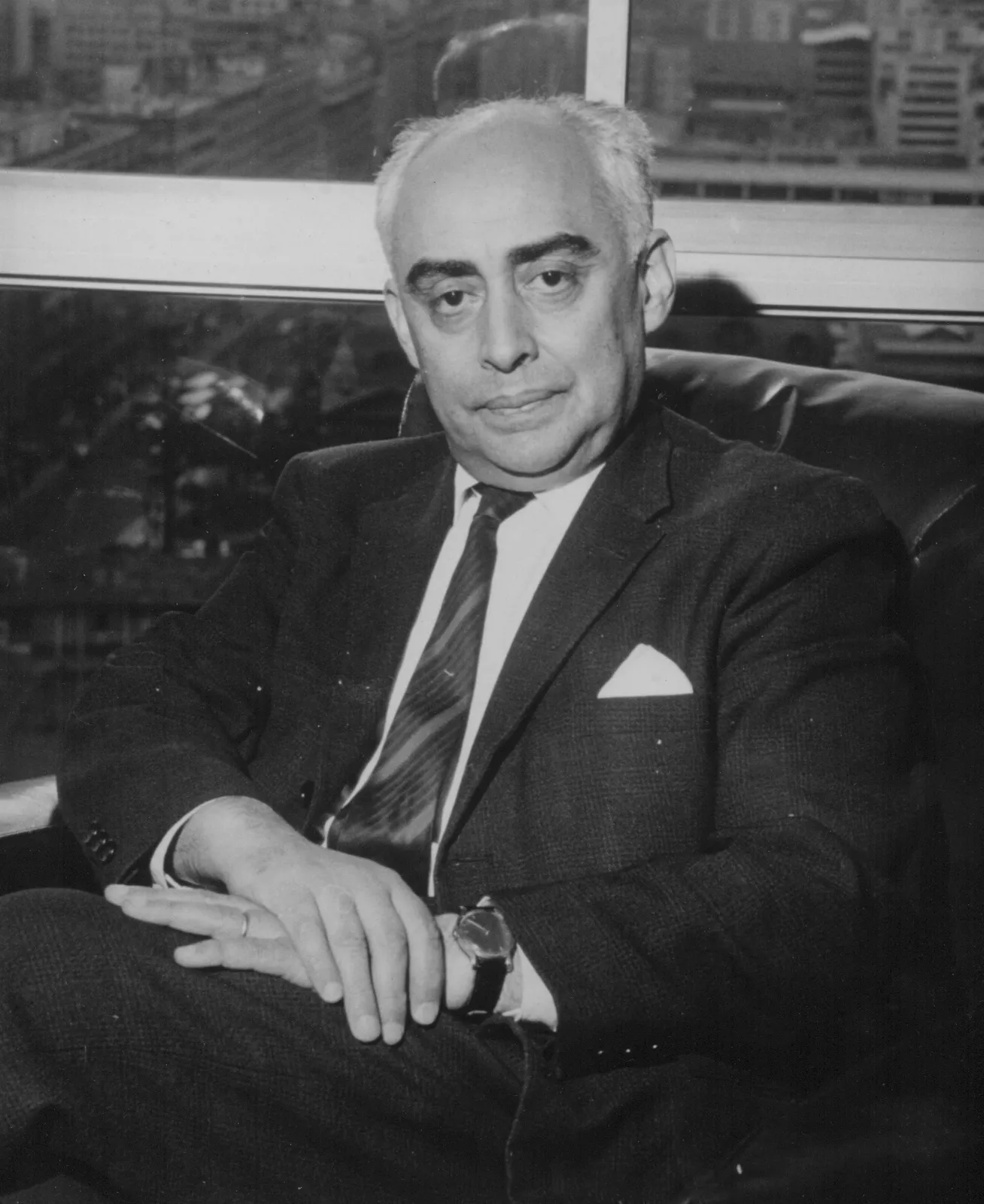
By 23 June the dam had been lowered from 24 metres to 15. The operation, led by the engineer Raúl Sáez, finished about two months after it began, in late July 1960. The controlled release still had considerable destructive power. Los Lagos, Antilhue, Pishuinco and the riverside areas of Valdivia were partly flooded, but they were not destroyed.
Why the Riñihuazo Matters
The Riñihuazo is remembered in Chile as a victory for planning and for labour. A natural disaster threatened to turn into a second, larger one, and it was reduced to a manageable emergency by people working with shovels and judgement in the mud, with the Andes behind them. It succeeded because it was controlled, step by step, by those on the ground.
What the Record Shows
8 sourced claims in this story, resting on 5 primary and historical records. Numbers link to the bibliography below.
- The 9.5 magnitude Valdivia earthquake of May 22, 1960, triggered three massive landslides blocking Lake Riñihue - sources: 1, 4
- Three billion cubic meters of impounded water threatened 100,000 residents living along the San Pedro River - sources: 1, 2
- Civil engineer Raúl Sáez led the emergency response team from ENDESA and the Ministry of Public Works - sources: 1, 3
- Heavy machinery bogged down in volcanic mud, requiring emergency excavation by hand with shovels - sources: 2, 3
- Proposals to detonate the blockage with aerial missiles or heavy explosives were rejected due to soil liquefaction risks - sources: 1, 3
- Over 500 workers and soldiers dug a 2-kilometer drainage canal over two continuous months - sources: 2, 4
- The controlled spillway successfully discharged the lake waters on July 24 without dam collapse or loss of life - sources: 1, 3
- The feat remains celebrated in Chilean civil engineering as the ‘Epopeya del Riñihuazo’ - sources: 3, 5
Archival Evidence & Picture Credits
Every image on this page was checked against its Wikimedia Commons file page.
- Valdivia after the earthquake of 1960 (Wikimedia Commons) - Wikimedia Commons file page
- Riñihue Lake, with the Andes behind (Wikimedia Commons) - Wikimedia Commons file page
- The engineer Raúl Sáez, who led the Riñihuazo operation (Wikimedia Commons) - Wikimedia Commons file page


Verified Archival Sources & Bibliography
Every claim in this account has been fact-checked against primary archives and scholarly repositories:
- Geomorphology: Landslides and natural damming associated with the 1960 Great Chilean Earthquake (Van Wyk de Vries et al.) (academic)
- Internet Archive: The 1960 Chilean Earthquake and Tsunamis - Science and Engineering Records (book)
- Universidad de Chile: La epopeya del Riñihuazo - 60 años de la mayor hazaña ingenieril de Chile (academic archive)
- Wikipedia: Riñihuazo (reference)
- Memoria Chilena (Biblioteca Nacional de Chile): Terremoto de Valdivia de 1960 y la hazaña de Riñihue (primary)
Echoes of History Uncut. "An Earthquake Trapped a Lake Above a City. They Drained It With Shovels.." Echoes of History Uncut. Last modified September 18, 2026. https://echoesofhistoryuncut.com/articles/rinihuazo-chile-1960/.

An independent history publication using AI-assisted research, drafting and production. Consult each article’s citations and limitations; source inclusion does not establish independent verification of every claim.
▶
Watch the Complete Archival Documentary on YouTube
Subscribe to Echoes of History Uncut on YouTube for full widescreen 16:9 documentaries, primary archival footage, and declassified deep dives.